Pelorus Nav User Guide
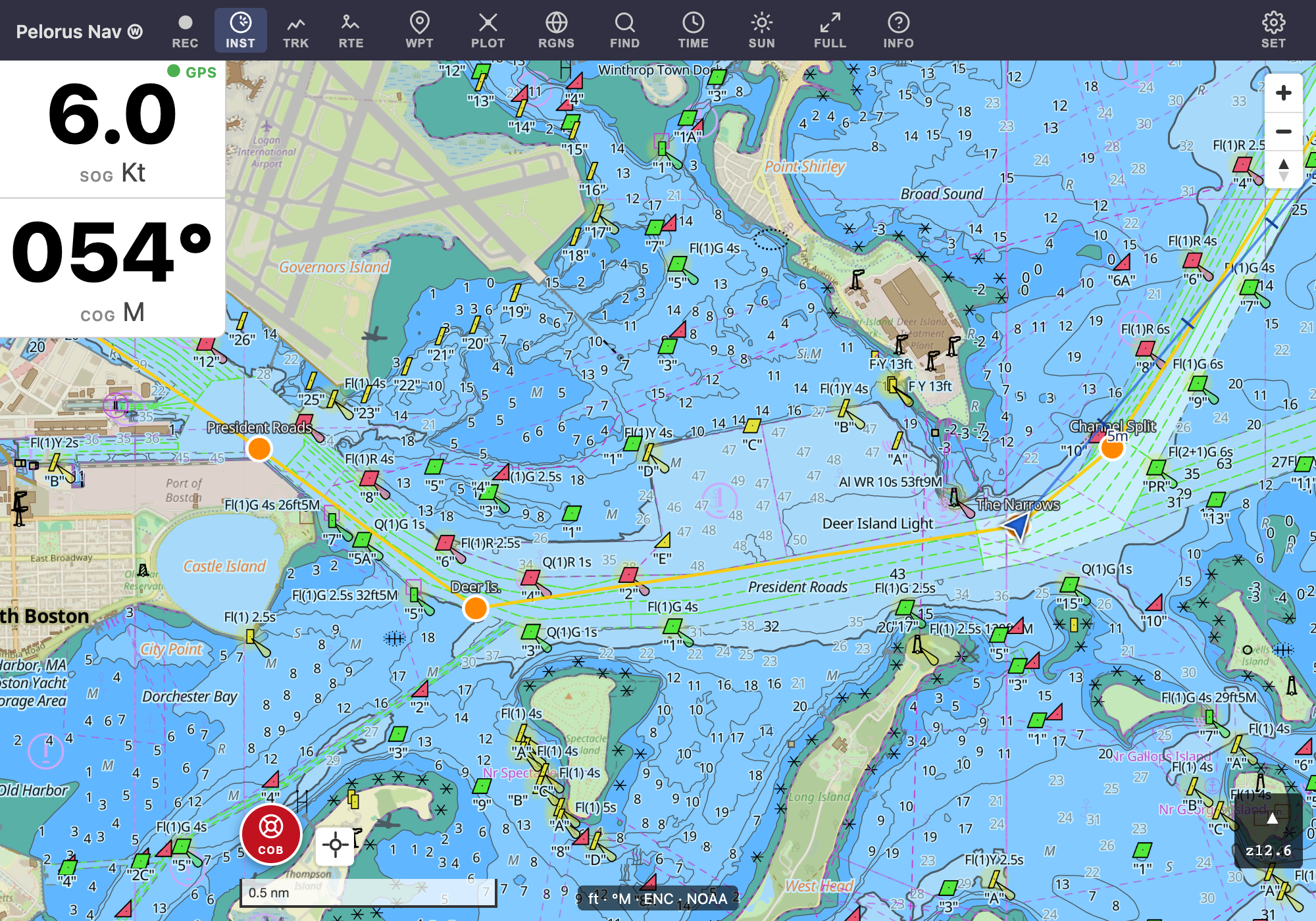
Pelorus Nav is a free, open-source chartplotter that runs in your browser and as an app on Android and iOS. It shows official NOAA vector charts with IHO S-52 symbology, works fully offline once you've downloaded chart regions, and handles the essentials of small-boat navigation: routes, waypoints, tracks, tides and currents, and man-overboard.
Where to get it
- Web / PWA: pelorus-nav.com/app — works in any modern browser, and can be installed to your home screen for full-screen, offline use.
- Android: available from the Play Store, or as an APK attached to each GitHub release.
- iOS: via TestFlight (beta).
This guide
- Getting Started — first launch, settings worth changing, and downloading charts for offline use.
- The Chart Display — chart modes, detail levels, layers, and the instrument display.
- Routes — creating, editing, and following routes.
- Tracks — recording where you went, and reliving it in the Track Viewer.
- Tides, Currents, Wind & Sun — predicted conditions on the chart, up to 48 hours ahead.
- Traditional Plotting — DRs, fixes, bearing lines, and distance arcs for chartwork the old way.
The guide covers the interesting parts, not every menu item — most of the app is meant to be discoverable by tapping around, and nothing you do in a panel or menu is destructive without confirmation.
Not for primary navigation
Pelorus Nav is a planning and situational-awareness aid. Always maintain a proper lookout and consult official publications. Charts can be out of date and GPS can fail — never rely on a single source of navigation information.